A Visual and Verbal Narrative of Arizona's Salt River
Menu
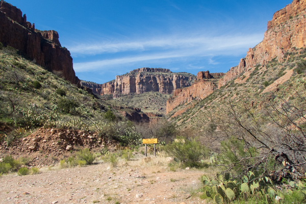
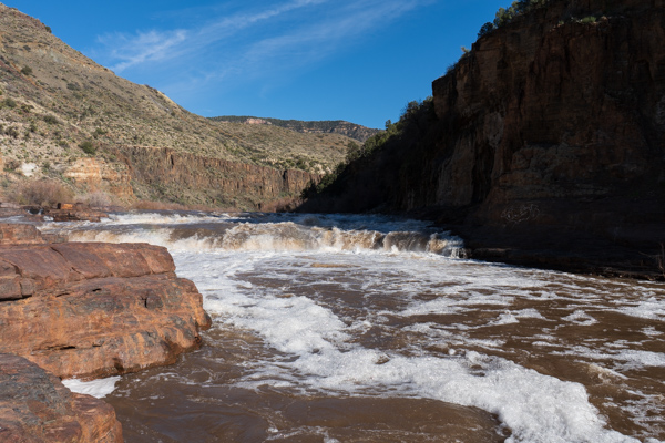
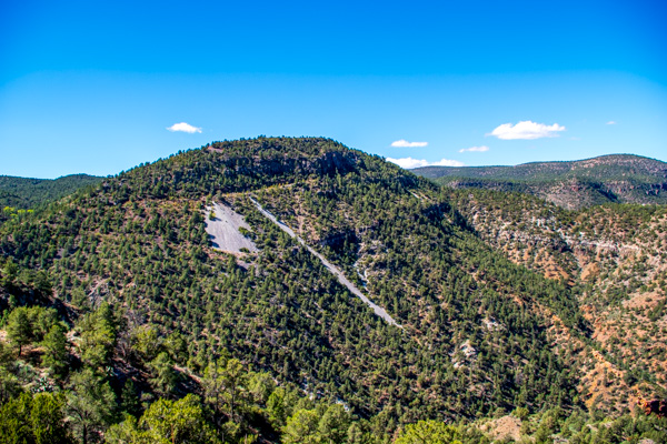
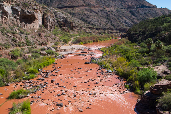
Salt River Canyon
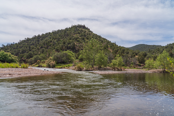
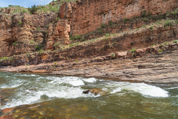
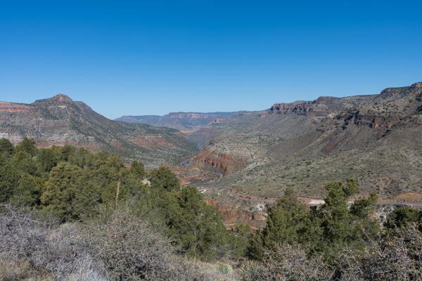
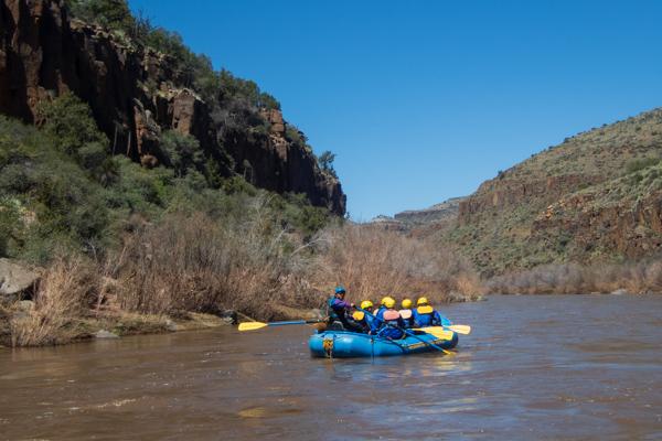
The Salt River is formed by the confluence of the White River (shown on the left) and the Black River (shown on the right).The first set of rapids on the Salt River are just a few yards down from the confluence of the Black and White Rivers. This is the beginning of the Salt River Canyon.Looking into the Salt River Canyon near Mule Hoof Bend. A dirt road follows the river for a few miles, but ends before the boundary of the Salt River Wilderness where no roads exist at all.With few roads, rafting the Salt River is arguably the best way to see the Canyon and experience its high canyon walls and Class II-IV rapids.Cibeque Creek is a major tributary to the Salt River and hiking it is worth a trip in it’s own rightApache Falls is located about a quarter mile upstream of the Highway 60 bridge. The falls are located within the Fort Apache Indian Reservation and a recreation permit is required to utilize the tribal lands and waters which are within the reservation. The permits may be obtained at the Salt River Trading Post.Various types of mining operations have taken place in the Salt River Canyon over the years. The tailings from these mines can be seen cascading down the canyon slopes. Asbestos and salt were two of the primary minerals taken from the mines.By the end of the summer the Salt River flows modestly but reliably through the canyon. The flow can change quickly, however, if a late season thunderstorm rolls in, creating flash floods and hazardous conditions.