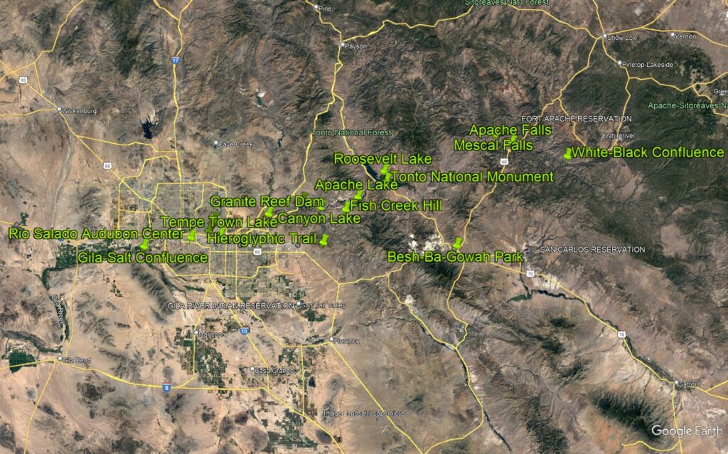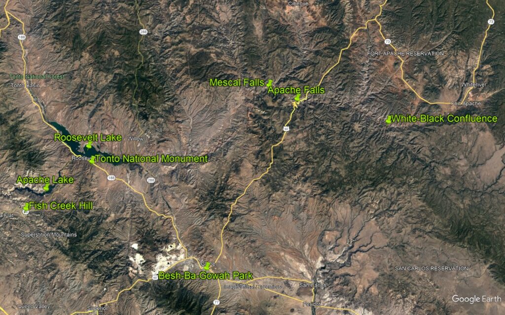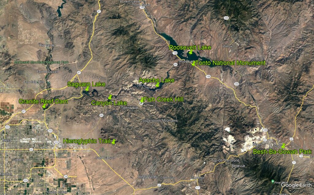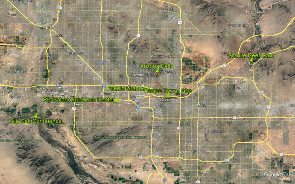
The Salt is a short but mighty river. From its beginnings at the confluence of the White and Black Rivers until its termination at its confluence with the Gila, the Salt River measures only about 200 miles. If you count its headwaters in the White Mountains, the total mileage increases to 300. The following maps indicate places referenced in the text of this website.