A Visual and Verbal Narrative of Arizona's Salt River
Menu
Urban Salt River
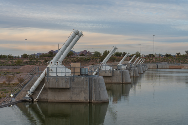
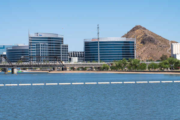
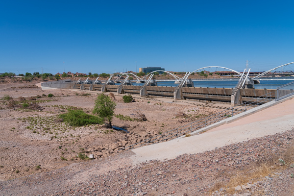
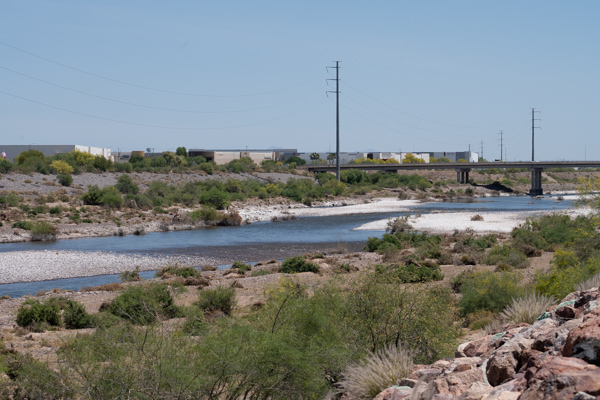
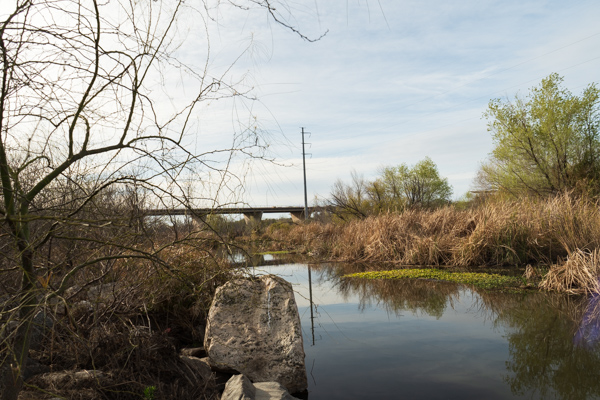
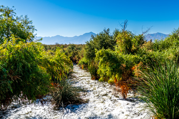
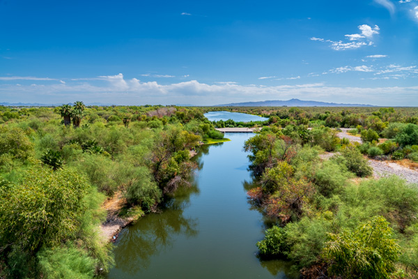
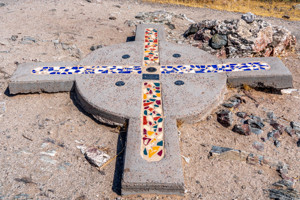
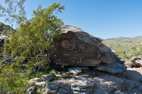
Tempe Town Lake was created by damming the dry Salt River with a series of hydraulically-operated steel gates and adding water.Tempe Town Lake is a two-mile long artificial reservoir in the heart of Tempe near the campus of Arizona State University. The lake and the adjacent area are home to a thriving business community.Aerial view of Tempe Town Lake showing the pedestrian bridge across the lake as well as the hydraulic gates forming the dam. Downtown Tempe is shown in the background.Normally a perennial river, the Salt River below Tempe Town Lake is now dry except for the spring run-off and summer monsoons.Calcium and magnesium salts are visible in the streambed after the water carrying them in solution evaporated quickly near the Rio Salado Audubon Center.The Rio Salado Audubon Center is a 600-acre park in the Salt River corridor. The water for the park is provided from nearby canals and wells on the property.Treated wastewater effluent being released into the Salt River after leaving the Tres Rios Wetlands. The Sierra Estrella Mountains can be seen in the background. The Salt and Gila converge at their base at the Base and Meridian Wildlife Management Area.The Salt River ends its journey near the Base and Meridian Wildlife Area where it joins the Gila River at South Avondale Boulevard.The first survey point made in Arizona known as the Gila and Salt River meridian. The survey point is encased in a concrete compass identifying the four cardinal directions.The people of the Hohokam culture etched petroglyphs in the canyons and hills surrounding the Salt River Valley. Shown here are a few of the petroglyphs found in the South Mountain Park and Preserve in Phoenix, Arizona.